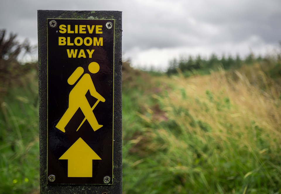
Slieve Bloom Way
- Distance: 70.5 km/3 days
- Services: Kinnitty, Clonaslee Cadamstown
- Trail Grade: Strenuous
- To suit: Suitable for users accustomed to walking on rough ground and with a high level of fitness.
- Terrain: Sections with steep climbs for long periods and the going underfoot can be extremely rough.
- Min. gear: Specific outdoor walking footwear and clothing required. Also recommended to bring fluid, snacks and mobile.
- Trail maintenance: hikeit@slievebloom.ie
- Dogs allowed: No
Important
If you intend to undertake the Slieve Bloom Way, it is important that you have the correct maps, as changes have been made recently and some maps in circulation may show incorrect directions. The above maps (in downloadable PDF format) show the correct up-to-date route in good detail. These maps are provided courtesy of IrishTrails.ie.
Dogs not permitted on any section which crosses private farmland.
Leave No Trace Principles:-
- Plan ahead and prepare
- Be considerate of others
- Respect farm animals and wildlife
- Travel and camp on durable ground
- Leave what you find
- Dispose of waste properly
- Minimise the effects of fire.
Although their highest point, called Arderin or ‘the height of Ireland’, is at 527 m, the isolated range of the Slieve Bloom Mountains have a presence that belies their height. They stand alone in Ireland’s Central Plain, which means they can be seen for many miles around and the views from their heights are very extensive.
The Slieve Bloom Way is a 70.5 km circuit of the range with a total climb of 1275m. Estimated time to complete trail 3 days. Waymarking consists of frequent marker posts with a motif of a walking figure and a directional arrow in bright yellow.
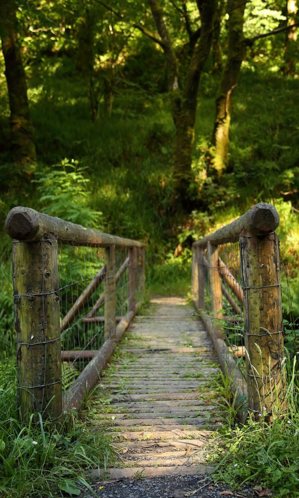
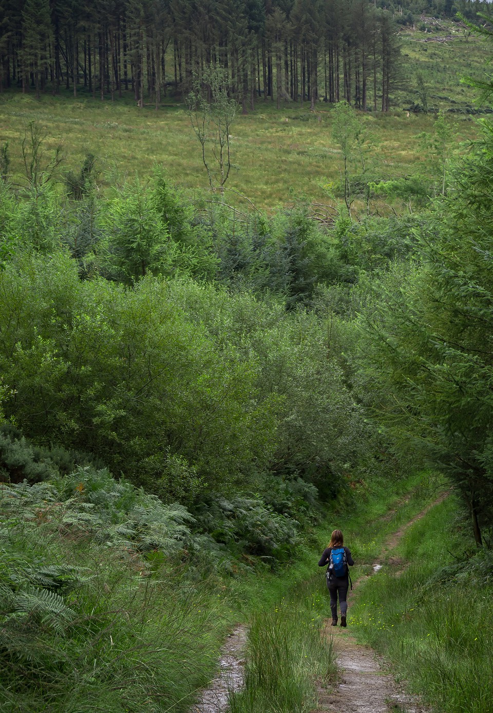
It crosses high, heathery ridges and dips down into many deep and beautiful glens through which streams flow, hidden landscapes as full of character as they are of stories and legends. The range is heavily forested with modern conifers which lends much of the route good terrain on forestry roads but means long sections have little outlook. Generally terrain consists of forestry tracks, tarmac roads, mostly quiet, and paths beside streams and over open moorland, some of which can be wet and muddy.
Apart from in Kinnitty, there is no accommodation available on the actual route, but there are towns and villages of considerable character strung around the range, some quite close to the route, that provide overnight accommodation – most of whom will pick up/drop off at trail heads by prior arrangement. The total aggregate ascent over the route is 1275m, but there are no significant climbs.
The Slieve Bloom Way is best accessed at one of five key trailheads, which provide information map boards and car parking. These are located reasonably close to other services and facilities, such as shops, accommodation, restaurants and public transport.
The Walks
The trailheads are located as follows:
Trailhead 1 – Glenbarrow Carpark to Clonaslee ( Grid Ref. N 367 081)
15.6 Km – Strenuous
Start from Rosenallis village on the R422, between the towns of Mountmellick and Birr. Take the minor road, signposted Glenbarrow, and follow the trailhead signposting. Total distance from Rosenallis is approximately 5km.
Download map of this section »
Trailhead 2 – Clonaslee to Cadamstown (Grid Ref. N 317 106)
13.4 Km – Strenuous
Clonaslee village is located on the R422, between the towns of Mountmellick and Birr. The trailhead is signposted from Clonaslee village and is located approximately 0.2km from the village in the Brittas Lake/ Glenkeen direction at the entrance to Brittas Wood.
Download map of this section »
Trailhead 3 – Cadamstown to Kinnitty Forest (Grid Ref. N 227 085)
11.5 Km – Strenuous
Cadamstown village is located on the R421, between the towns of Mountmellick and Birr. The trailhead is located at the car park in the village.
Download map of this section »
Trailhead 4 – Kinnitty Forest to Monicknew (Grid Ref. N 211 046)
13.5 Km – Strenuous
Kinnitty village is located on the R421, between the towns of Mountmellick and Birr.
Download map of this section »
Trailhead 5 – Monicknew Forest Car Park to Glenbarrow Car Park ( Grid Ref. N 306 023)
19.5 Km – Strenuous
Clonaslee village is located on the R422, between Mountmellick and Birr. The trailhead is signposted from Clonaslee and is located approximately 12km from the village in the Mountmellick/Mountain Drive direction. (This section has been rerouted due to ROC closure and is now 19.5km rather than 16km)
Other Walks Nearby